By Brendan Farrington
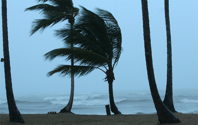
TALLAHASSEE, Fla. — Tropical Storm Colin was gaining speed and strength Monday on its way to strike Florida, threatening rains forecasters said could cause some serious flooding along much of the state’s Gulf coast.
A large portion of Florida’s western and Panhandle coast was already under a tropical storm warning when the National Hurricane Center announced that a quickly moving depression had become a named storm. The centre said it is the earliest that a third named storm has ever formed in the Atlantic basin.
Colin’s maximum sustained winds Monday morning had increased to near 50 mph (85 kph) with some slow strengthening possible during the next two days. The storm was centred about 360 miles (580 kilometres) west-southwest of Tampa and moving north-northeast near 14 mph (22 kph).
Tropical storms carry wind speeds of between 39 mph (63 kph) and 73 mph (117 kph).
“It’s going to impact most of the state in some way,” Gov. Rick Scott said in a phone interview. “Hopefully we won’t have any significant issues here, but we can have some storm surge, some rain, tornados and some flooding.”
The latest forecast for Colin called for the storm to make landfall near the Big Bend area of Florida, move across the Florida peninsula into Georgia and then move along or just off the South Carolina coast before heading out to sea.
Colin is expected to produce rainfall amounts of 3 to 5 inches and forecasters said up to 8 inches possible across western Florida, eastern Georgia, and coastal areas of the Carolinas through Tuesday.
Forecasters said storm surge and high tide could combine to flood normally dry areas along Florida’s coastline. They also described Colin as a lopsided storm, with tropical storm-force winds extending up to 185 miles east of its centre.
A tropical storm watch was issued for the lower South Carolina coast. The watch was in effect from near McClellanville southwest along the coast to near Brunswick, Georgia.
A watch means that tropical storm conditions are possible in the watch area in the next 36 to 48 hours.
Scott postponed a political meeting with presumptive Republican presidential nominee Donald Trump scheduled Monday in New York so he can remain in the state capital to monitor the weather.
It is the latest in a series of severe whether events across the country, from record-breaking heat in the West, flooding in Texas and storms that are expected to cause problems in the nation’s capital and mid-Atlantic region.
Scott warned residents not to simply look at the centre of the storm, saying the heaviest rain will be to the east and west of it.
Sand bags were being distributed to residents in St. Petersburg, Tampa and nearby cities.
On the Georgia coast, Savannah and surrounding Chatham County were under a tropical storm watch as Colin was expected to pass the area before dawn Tuesday.
“We’re bracing for a really bad thunderstorm, essentially,” said Dennis Jones, director of the Chatham County Emergency Management Agency.
Jones said flash floods appeared to pose the greatest threat, with the worst flood potential expected late Tuesday when local waterways already swollen with rain crest with the high tide at about 10:40 p.m. Savannah-area authorities planned to keep a close watch for floodwaters on Georgia Highway 80, the only roadway linking the beach community of Tybee Island to the mainland.
Recent rains in Savannah and other southeast Georgia communities have saturated the ground, making them more prone to flooding. But Jones said the storm’s overnight arrival should make it less of a threat to people.
“The bulk of storm is not going to occur until early, early in the morning when people are asleep anyway,” Jones said.
The National Weather Service in Mobile, Alabama, issued a flood warning for the Shoal River near Crestview and warned of possible widespread flooding in streams, creeks, and canals. Wind gusts threatened to bring down trees and branches and cause power outages.

