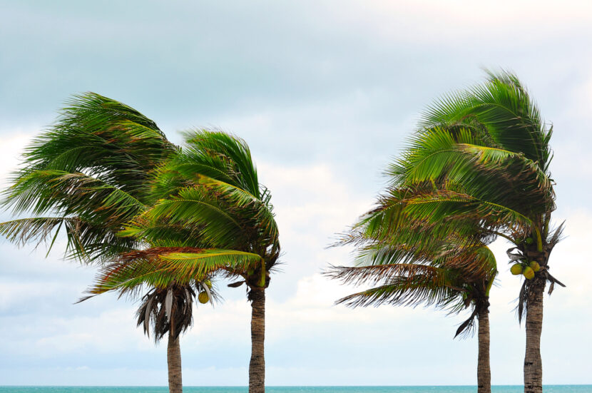
NASSAU, Bahamas _ Powerful Hurricane Joaquin bore down Thursday on the lightly populated islands of the central and eastern Bahamas and forecasters said it could grow more intense while following a path that would near the U.S. East Coast by the weekend.
Some minor flooding and storm surge were reported, but there were no immediate reports of casualties or significant damage as the storm reached the island chain, said Capt. Stephen Russell, the director of the Bahamas National Emergency Management Agency.
Islands such as San Salvador, Cat Island and Rum Cay were expected to experience the most significant effects before the storm begins an expected shift toward the north, forecasters said.
“Everyone is just trying to get their stuff battened down,” said Frances Missick, chief councillor of Rum Cay, which has a population of about 100 and 40 homes.
Missick and other people on the small island gathered in a shelter set up at the St. Christopher Anglican Church. As of Thursday, there was only some minor flooding and power and water were still running.
Joaquin was a Category 3 storm with maximum sustained winds of 120 mph (195 kph) and hurricane strength winds extending 35 miles (55 kilometres) from the eye, the U.S. NationalHurricane Center in Miami said. As of 8 a.m. EDT, the centre of the storm was about 10 miles (15 kilometres) north of the uninhabited Samana Cays, Bahamas, and was moving west-southwest at 5 mph (7 kph).
The storm was predicted to turn to the north and northwest toward the United States late Thursday or Friday, but forecasters were still gathering data to determine how it might affect the U.S. East Coast, which was already suffering flooding and heavy rains from separate storms.
“There’s still a distinct possibility that his could make landfall somewhere in the U.S.,” said Dennis Feltgen, a meteorologist and hurricane centre spokesman.
On Eleuthera, a narrow strip to the north of Cat Island, people removed stray coconuts and other debris from their yards and put up storm shutters in blustery winds, said Chris Gosling, who runs a volunteer ambulance service on the island. Islanders have learned from past storms not to take chances.
“People don’t panic too much. There’s nothing you can do about it. If it comes, it comes, and you do what you can,” said Gosling, who has lived on Eleuthera for 27 years. “If the forecast is right we will get some wind and rain and it will go back out to sea.”
The Hurricane Center said parts of the Bahamas could see storm surge raising sea levels 5 to 8 feet (as much as 2.4 metres) above normal, with 10 to 15 inches (250 to 380 millimeters) of rain falling on the central Bahamas.
The U.S. National Hurricane Center’s long-term forecast showed the storm could near the U.S. East Coast along North Carolina and Virginia on Sunday or Monday.
“Residents of the Carolinas north should be paying attention and monitoring the storm. There’s no question,” said Eric Blake, a hurricane specialist with the centre. “If your hurricaneplans got a little dusty because of the light hurricane season, now is a good time to update them.”
___
8:10 a.m.
Heavy rains have flooded and closed streets in South Carolina as the East Coast braces for drenching storms.
Thursday’s flooding and closures were centred in Spartanburg County, including part of Interstate 85 Business just north of Spartanburg.
Doug Bryson with Spartanburg County Emergency Management told news outlets that one man was rescued Thursday morning after his vehicle was swept off the road where a culvert had washed out. The man managed to cling to a tree and was taken to a hospital for treatment.
There was no immediate word on his condition.
The coroner’s office says one person died after several vehicles were submerged early Thursday. The victim’s name hasn’t been released.
Richard Bishop says a creek behind his family’s body shop in Spartanburg was flooded past its banks but had receded somewhat by Thursday morning. A road that runs behind the shop was closed. Driving to work in drizzling rain, Bishop saw several high-water areas near train underpasses in town but didn’t have to alter his route.
___
This item has been corrected to show that flooding occurred on parts of Interstate 85 Business, not Interstate 95 Business.
___
7:45 a.m.
Officials in South Carolina say one person has died in street flooding in Spartanburg as the East Coast braces for drenching storms.
Spartanburg County Coroner Rusty Clevenger tells local news outlets the death occurred early Thursday when several cars were submerged in flash floods.
The victim’s name hasn’t been released.
The South Carolina Highway Patrol is investigating. Troopers say several cars were trapped briefly under a bridge where flooding often occurs during heavy rain.
___
4:40 a.m.
Governors up and down the East Coast are warning residents to prepare for drenching storms that could cause power outages and close more roads in a region already walloped by rain.
Recent downpours have forced people from their homes and closed schools, and forecasters are calling for several more inches of rain in coming days _ regardless of what happens with Hurricane Joaquin, which is spinning off the coast.
The U.S. National Hurricane Center says depending on its path, Joaquin could intensify the storms’ damage.
New York Gov. Andrew Cuomo was among the officials urging residents to take precautions, saying: “Our state has seen the damage that extreme weather can cause time and time again.”
