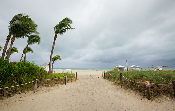
MIAMI — After taking a swipe at southern Florida Tropical Storm Gordon is now heading towards Louisiana and Mississippi, leading airlines including Air Canada to issue travel advisories for passengers scheduled to fly into or out of New Orleans (MSY) and other destinations along the central Gulf Coast.
Air Canada is waiving its change fees for customers booked on affected flights to and from MSY today (Sept. 4), to facilitate changes to bookings.
Meanwhile U.S. carriers including Delta, American and United are also waiving change fees, in most cases for impacted flights Sept. 4 and Sept. 5, for gateways throughout Louisiana and Mississippi.
Both states have declared a state of emergency in a pre-emptive strike to free up emergency funds, just in case Gordon packs a wallop.
The storm could be a Category 1 hurricane by the time it makes landfall, say forecasters.
The current tracking models put Gordon on the coast by 9 p.m. tonight.
A hurricane warning was put into effect for the mouth of the Pearl River in Mississippi to the Alabama-Florida border. The National Hurricane Center is predicting a “life-threatening” storm surge along parts of the central Gulf Coast, and as much as eight inches of rain could fall in some parts of the Gulf states through late Thursday as the tropical weather moves over the lower Mississippi Valley.
By early this morning, the storm was centred 365 kilometres east-southeast of the mouth of the Mississippi River, with top sustained winds of 100 kph, forecasters said. It was moving relatively quickly, at about 28 kph.
A storm surge warning has been issued for the area stretching from Shell Beach, LA, to Dauphin Island, AL. The warning means there is danger of life-threatening inundation. The region could see rising waters of 3 to 5 feet. The deepest water will occur along the immediate coast near and to the east of the landfall location, where the surge will be accompanied by large waves.
In Louisiana, Gov. John Bel Edwards declared a state of emergency Monday and said 200 National Guard troops will be deployed to southeastern Louisiana.
Gordon formed into a tropical storm near the Florida Keys early Monday, lashing the southern part of the state with heavy rains and high winds before moving into the Gulf of Mexico.
The storm’s predicted track had shifted slightly east as of Monday evening, meaning Louisiana is currently just outside the area under the hurricane warning. Still, the southeastern part of the state remains under a tropical storm warning and residents need to be prepared for the storm to shift west, Edwards said.
“This storm has every possibility to track further in our direction,” Edwards said during a news conference Monday evening.
New Orleans Mayor LaToya Cantrell said the city has “the pumps and the power” needed to protect residents. But authorities issued a voluntary evacuation order for areas outside the city’s levee protection system, including the Venetian Isles, Lake Saint Catherine and Irish Bayou areas.
Miami Beach Police said via Twitter that the Labor Day holiday was “NOT a beach day,” with rough surf and potential rip currents. Red flags flew over Pensacola-area beaches in Florida’s Panhandle, where swimming and wading in the Gulf of Mexico was prohibited.
The storm left many businesses on Florida’s Gulf Coast feeling shortchanged by the holiday weekend. The area has already been heavily impacted by this summer’s red tide.
With files from The Associated Press

